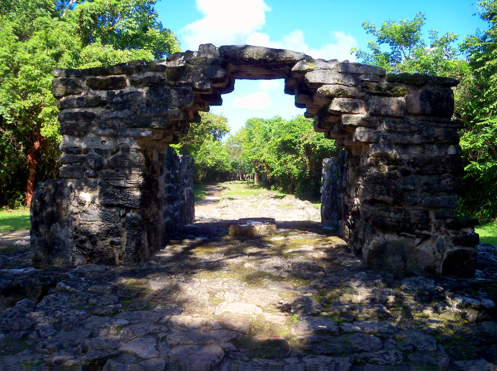
Most Mayan sites were found deep in the interior of their lands, with the exception of structures like Tumba del Caracol, San Gervasio was built roughly two miles from the nearest coast. It is believed that no human sacrifices were made at this location, mostly because there is no evidence of such a practice happening here; no skeletal remains, no artifacts, and no (human) sacrificial alter. Once in their life Mayan women would travel to San Gervasio and offer their sacrifices to Ix Chel, an aged deity of childbirth, and fertility. Like many Mayan sites, there was only one way in and out of San Gervasio. In this case it was through the arch pictured below. A white limestone road was be illuminated by the full moon which would lead travelers to the sacred site, where it is said that on a full moon, the moon appeared over the alter.
Japanese Air and Ground Forces, 1942
 When an officer just returned from service in Bataan and Malaya was shown this bulletin, he said that it should carry this comment:
“A careful reading of this bulletin may save your life.”
Happy Birthday Bruce Lee!
Bruce Lee, November 27, 1940 – July 20, 1973
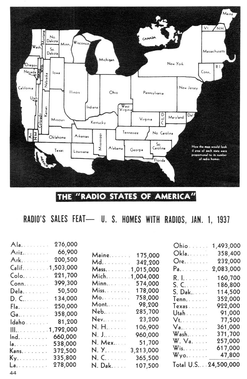
The Radio States of America, 1937
A map of how North America would look if the area of each state were proportional to its number of homes with radios.
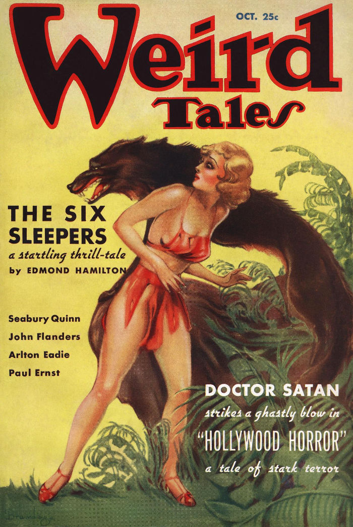
Weird Tales, Oct, 1935
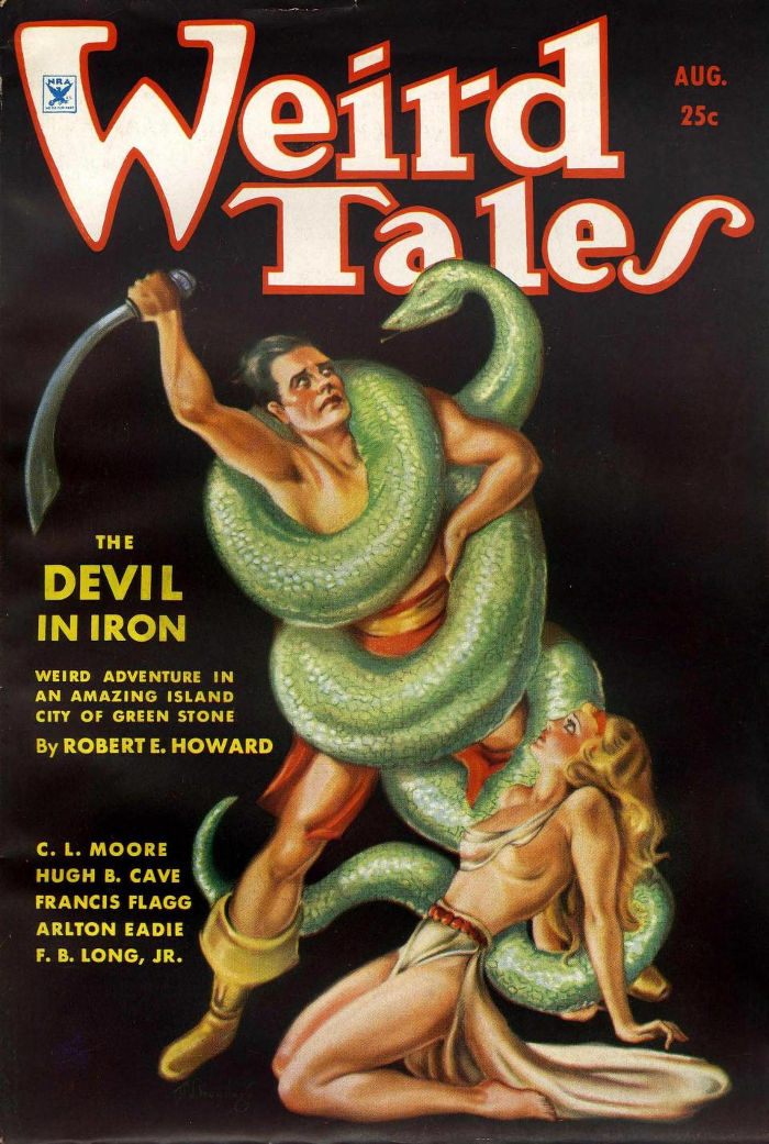
Weird Tales, Aug, 1934
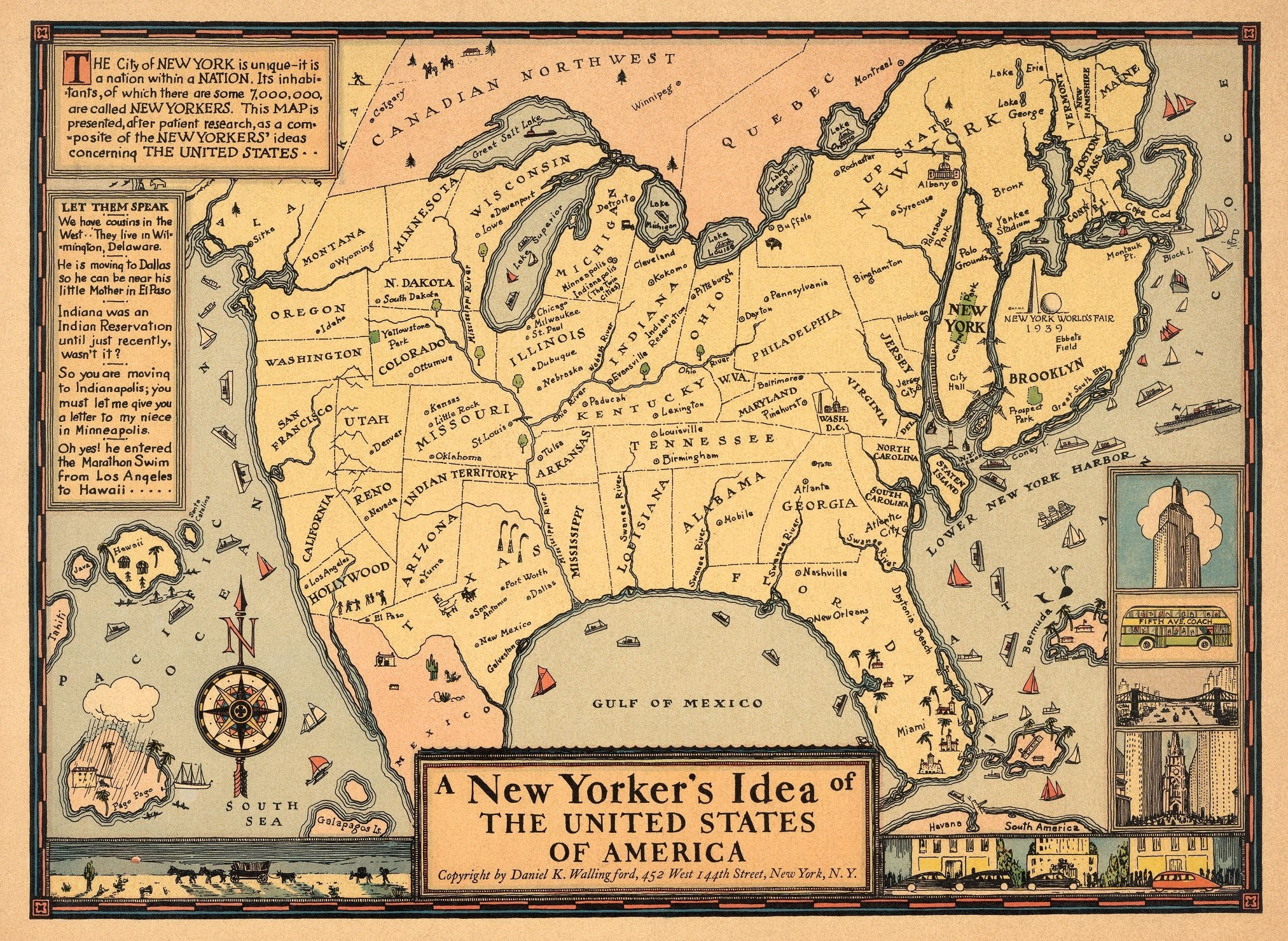
A New Yorker’s Idea of the USA, 1937
This humorous pictorial map of the United States takes the perspective of a New Yorker, with New York State shown in oversized proportion to the entire country. Some place names throughout the states are incorrect, for example, Minneapolis and Indianapolis are humorously shown together in Michigan as “The Twin Cities.” Decorative details include ships in the oceans, and various views in the borders such as the Empire State Building and a Fifth Avenue Coach bus. Explanatory texts are in two insets on the left. Compass rose on left corner of map oriented with the north to upper left. Location of 1939, New York World’s Fair grounds shown in Queens, New York. (David Rumsey Historical Map Collection)
Ingo-Bike, 1934
Marian Marsh posing on an Ingo-Bike. The bike had a springy foot board and no pedals. The bicycle was propelled forward by a combination of pulling on the steering bar and body movement.

The Phantom, by Steranko

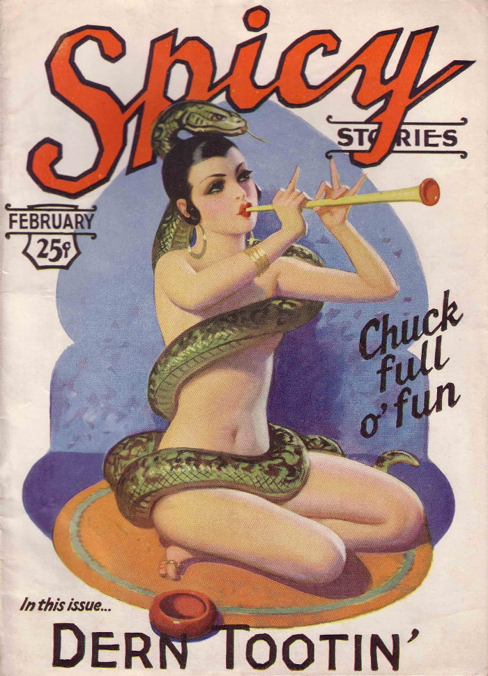
Spicy Stories, Feb, 1930