Category: Maps
Map Porn, where to go and how to get there…
Bootlegger’s Map, 1926
Bootlegger’s Map of the United States “Honi soit qui mal y pints”.
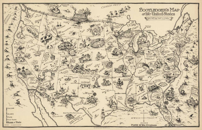 Published in 1926 during prohibition, the map includes many “place” names and plays on words that captures the humor and mood of the era.
The map was originally created by Edward Gerstall McCandlish, staff cartoonist for the Washington Post.
Hitler’s Olympics, 1936
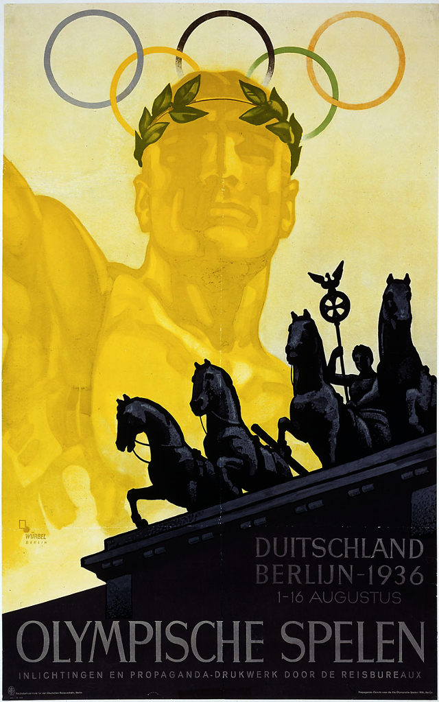
In 1931, the International Olympic Committee awarded the 1936 Summer Olympics to Berlin. The choice was meant to signal Germany’s return to the world community after defeat in World War I. Then Hitler & the Nazis rose to power… Continue reading “Hitler’s Olympics, 1936”
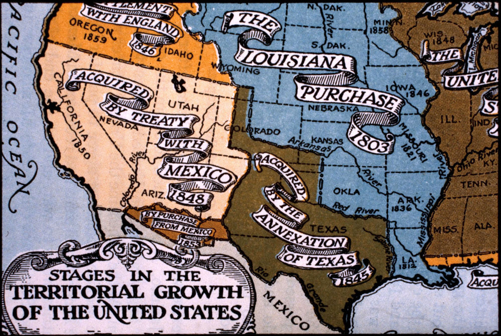
Map of Western Expansion
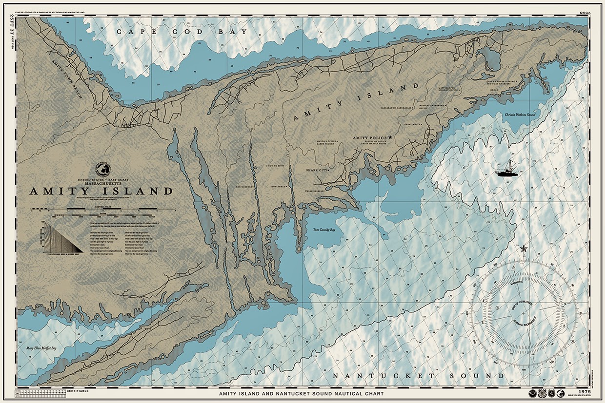
Amity Island
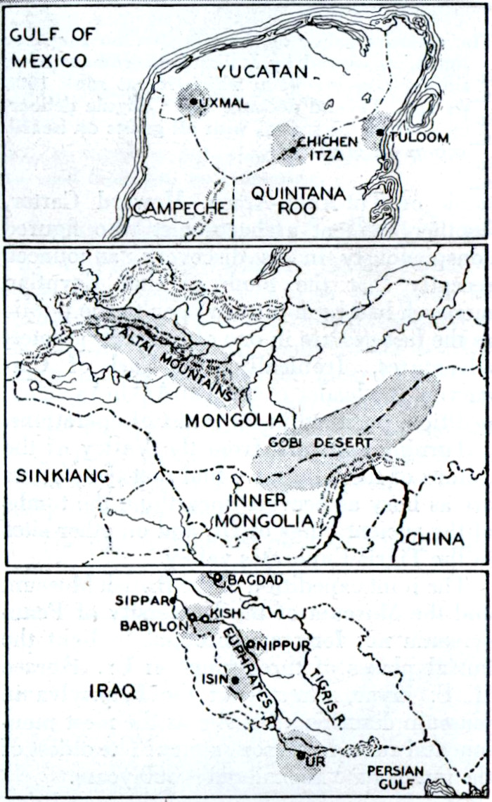
Areas of Archeological Interest, 1931
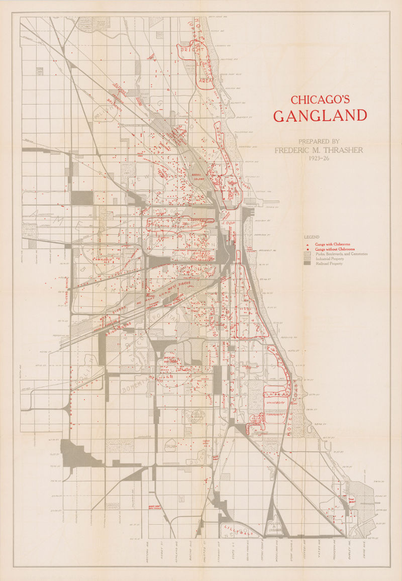
Chicago’s Gangland, 1923-27
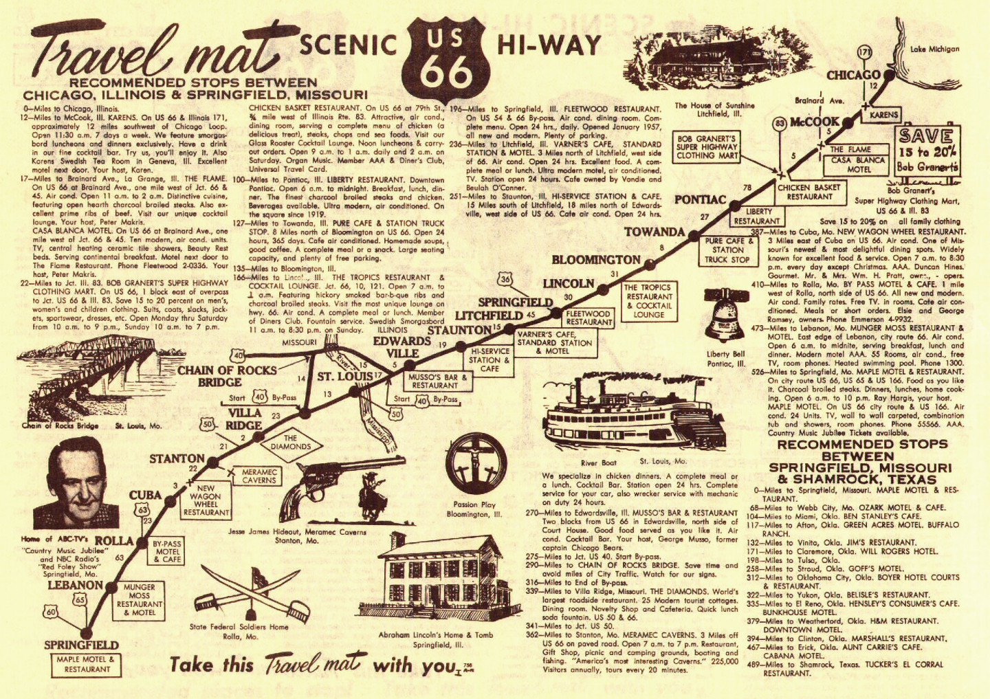
Route 66 Travel Mats, 1959
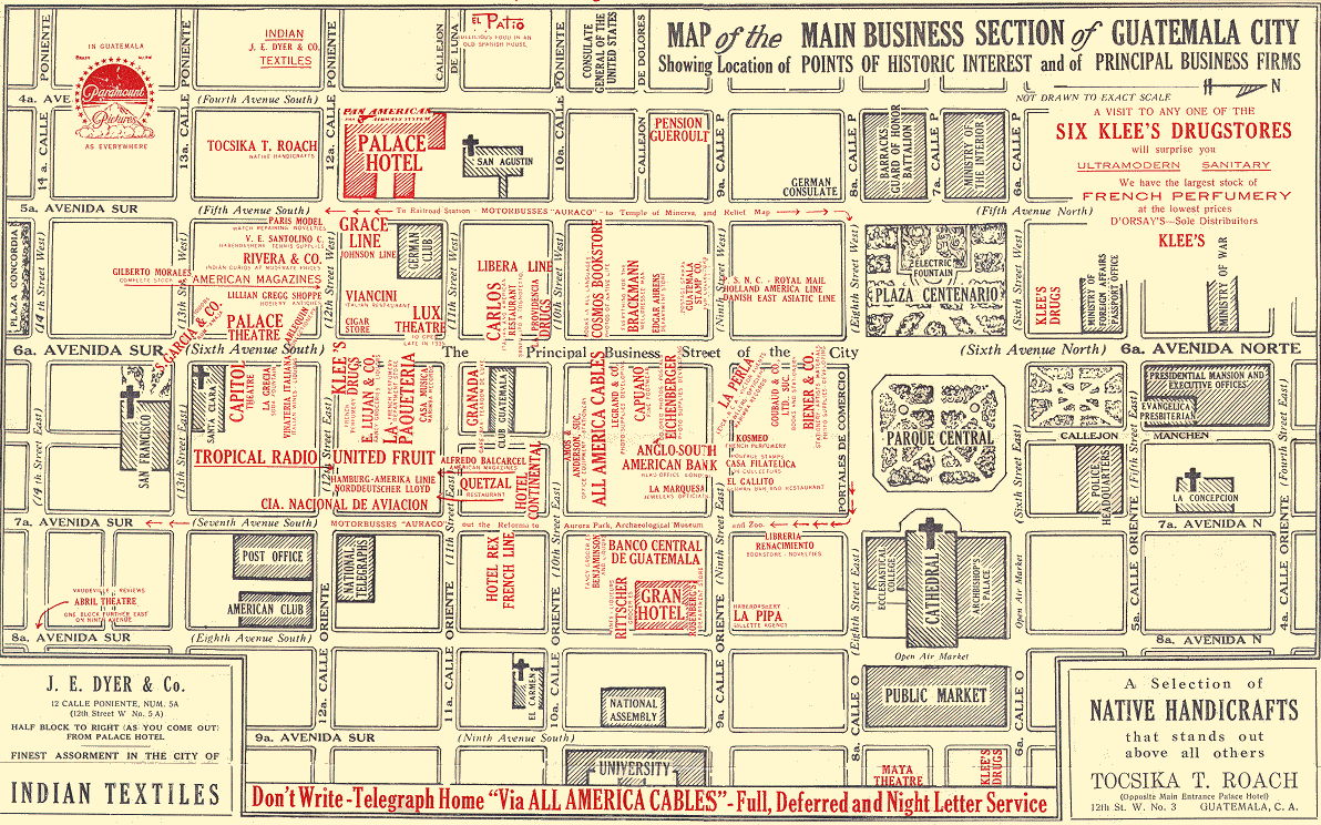
Guatemala City, 1930s
Guatemala was ruled by General Jorge Ubico from 1931 to 1944. During his reign, Ubico created a widespread network of spies and informants and had large numbers of political opponents tortured and put to death. Ubico implemented a system of debt slavery and forced labor to make sure that there was enough labor available for the coffee plantations, which was their primary export.
The dictator gave away hundreds of thousands of hectares to the United Fruit Company (an American corporation that traded in tropical fruit, primarily bananas), exempted them from taxes in the municipality of Tiquisate, and allowed the U.S. military to establish bases in Guatemala.
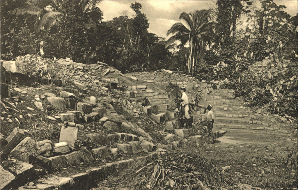
Quiriguá, Mayan Ruins
Quiriguá is located near the Motagua River in Guatemala. The site dates back to between 724 and 785AD when it was under the rule of K’ak’ Tiliw Chan Yopaat.
The monumental complex of pyramids, terraces, and stairways echoes a time when the city prospered from trade in jade and obsidian.
