Overlay map of the European Theater over North America to show relative distances. Solid Black line between Murmansk and Rostov is the Eastern Front between Germany and the USSR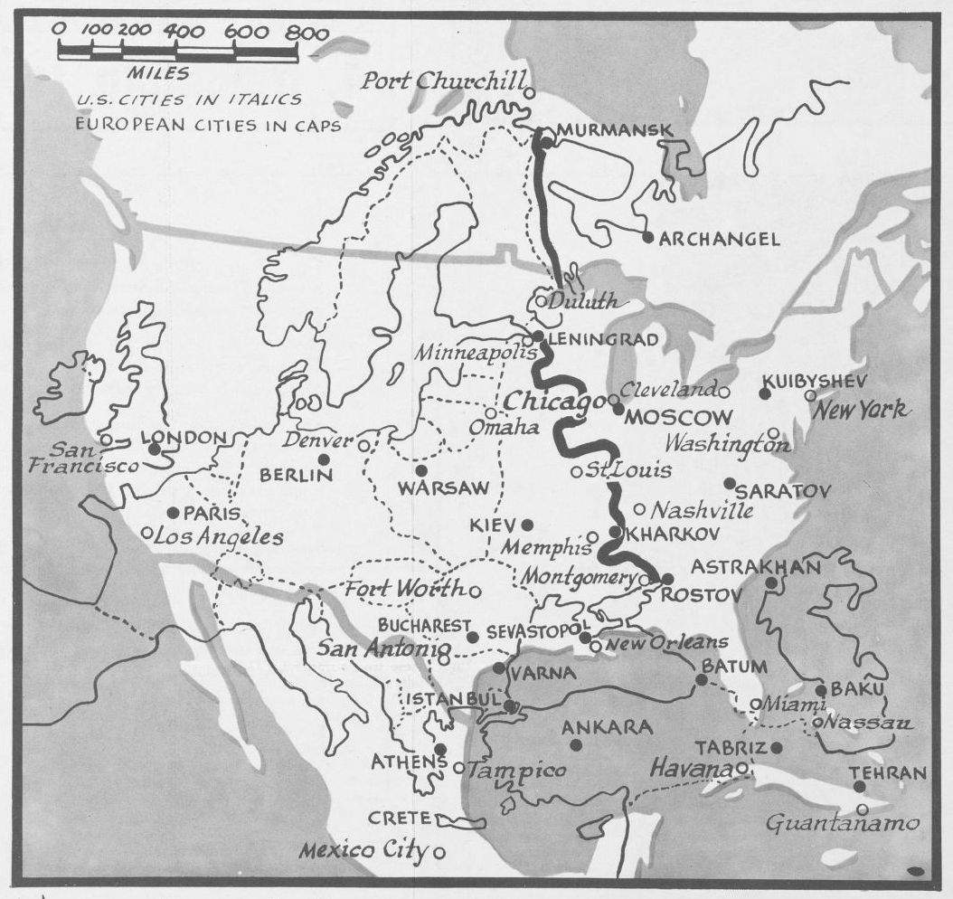 Newsmap. Monday, May 25, 1942 : week of May 15 to May 22, poster, May 25, 1942; [Washington, D.C.]., University of North Texas Libraries, Digital Library, digital.library.unt.edu; crediting UNT Libraries Government Documents Department.
Category: Maps
Map Porn, where to go and how to get there…
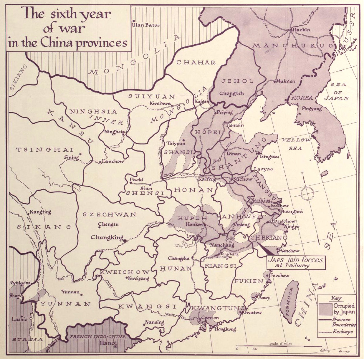
The 6th Year of War in China… 1942
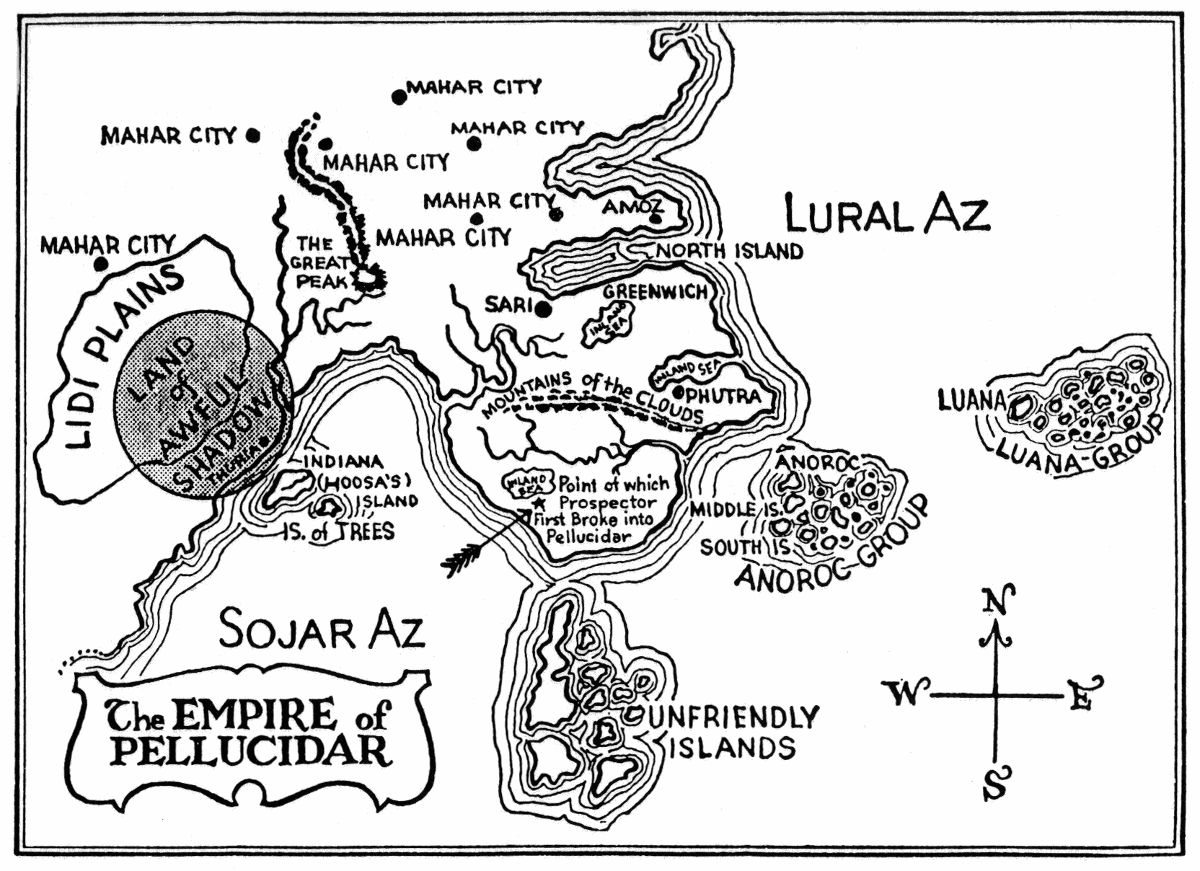
Empire of Pellucidar
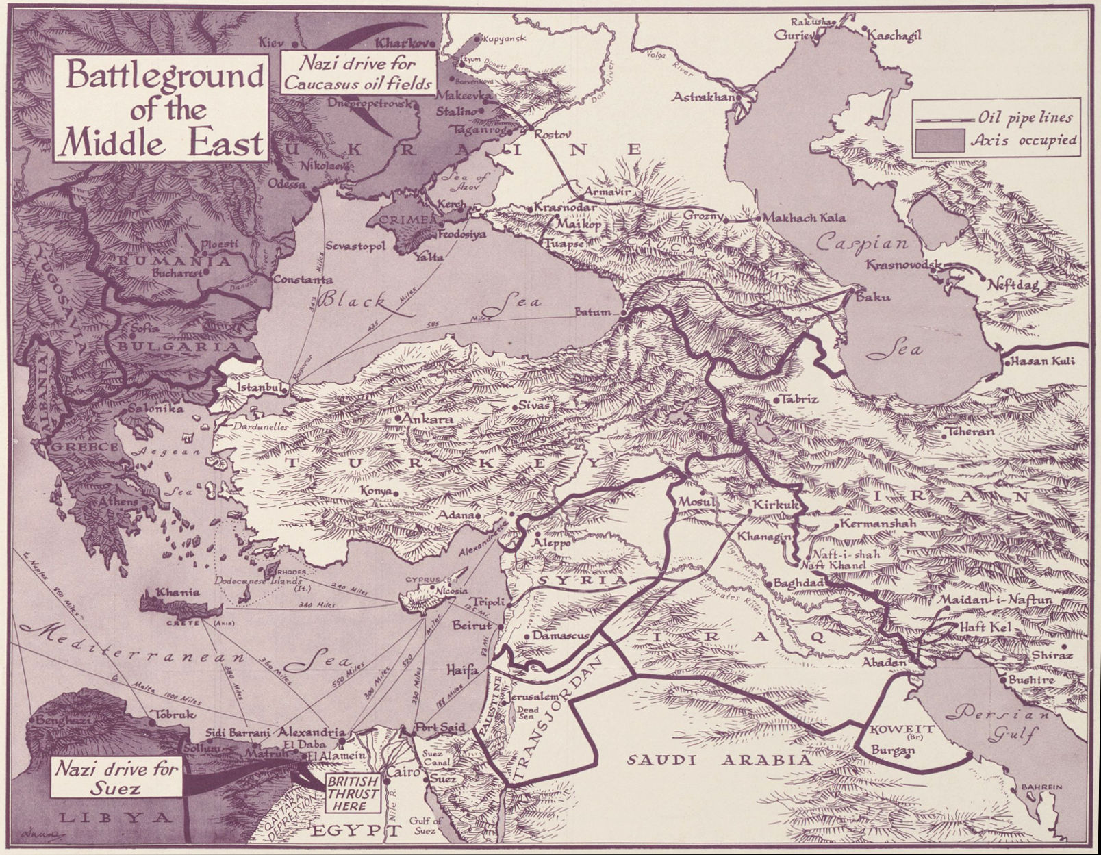
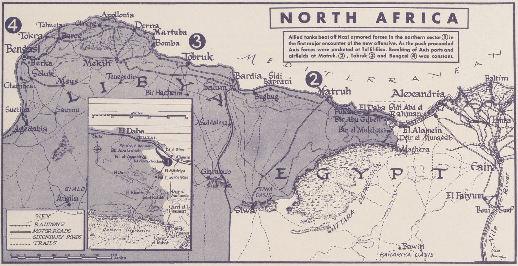
Battleground of the Middle East, 1942
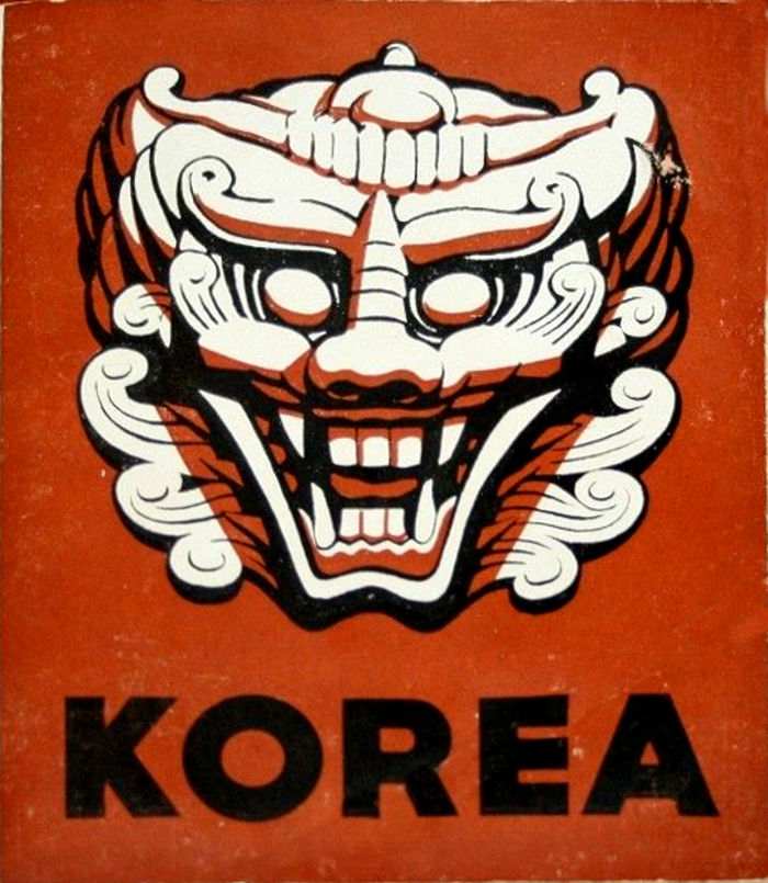
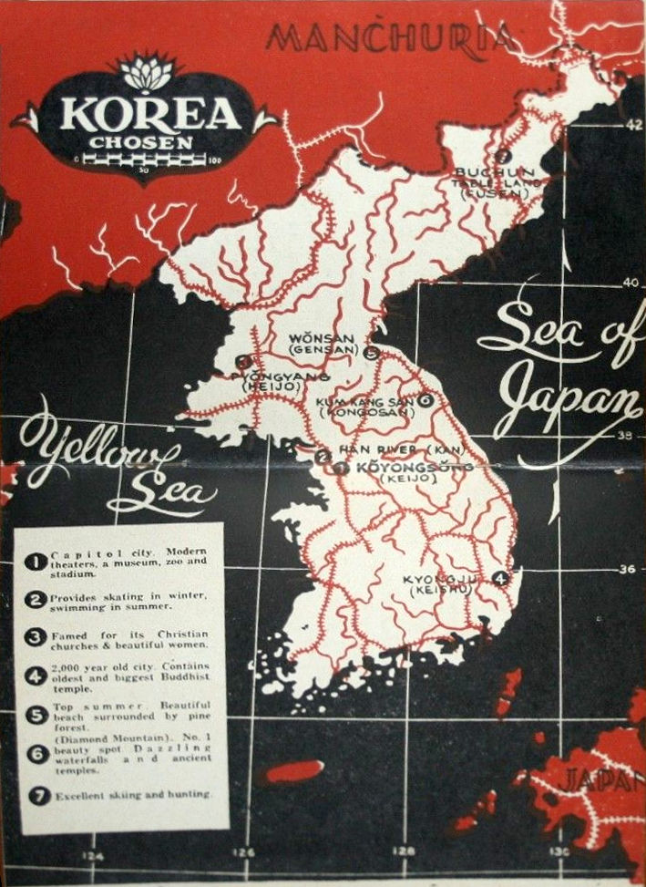
Pocket Guide to Korea, 1944
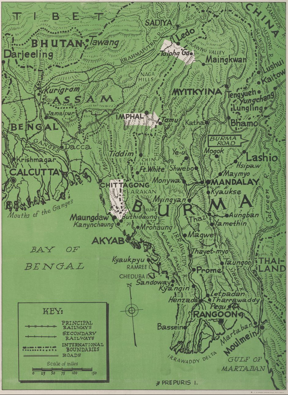
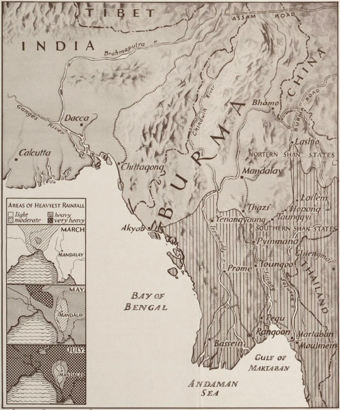
Burma, February 7, 1944
[United States.] Army Service Forces. Morale Services Division. Army Information Branch. Newsmap. Monday, February 7, 1944 : week of January 27 to February 3, 230th week of the war, 112th week of U.S. participation, poster, February 7, 1944; [Washington, D.C.]. University of North Texas Libraries, Digital Library, digital.library.unt.edu; crediting UNT Libraries Government Documents Department.
Lost City of Etzanoa
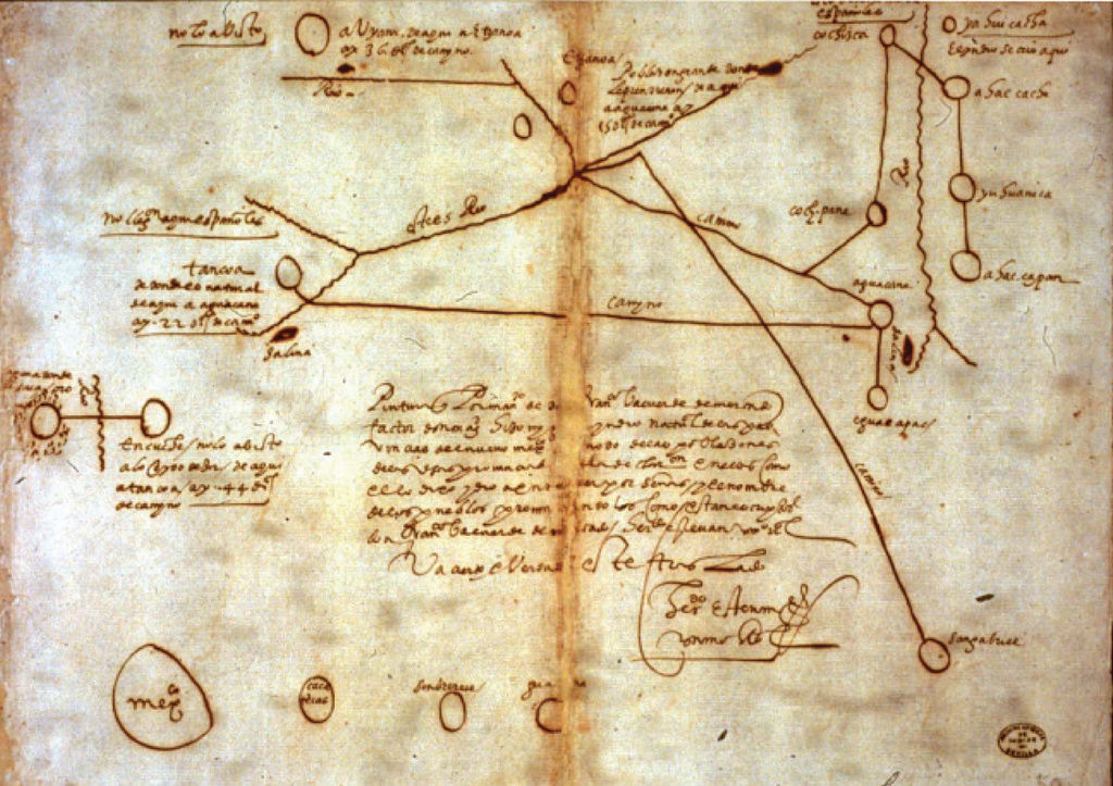
In the early summer of 1601, Juan de Oñate, a conquistador who helped establish the Spanish colony of New Mexico, set out with 200 soldiers, several cannons, a dozen priests and others, on a search to find Quivira, a fabled city of gold. What he found though was the “most monstrous cattle” (bison), wide open prairie with “grasses so high that in many places they hid a horse” and a settlement on the Arkansas River of more than a thousand large, thatched-roof buildings, scattered among fields of corn, squash, and beans.
This map was drawn in 1602 by a Wichita Indian who was captured by the Spanish, the Lost City is located near present day Arkansas City in southern Kansas.
Welcome to Casablanca
Army Air Forces Collection, “Welcome to Casablanca: Passenger Information, North African Division, Air Transport Command”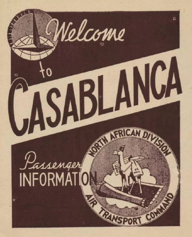 (Click to download 20 page PDF)
