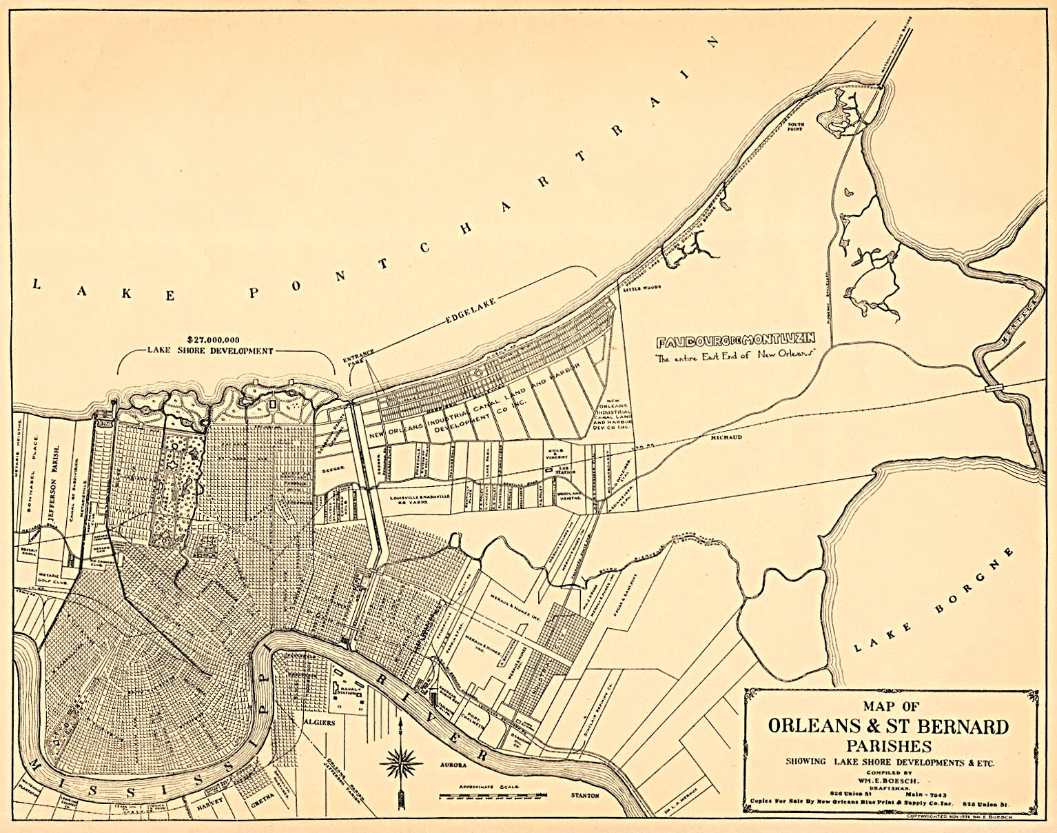
Category: Maps
Map Porn, where to go and how to get there…
Dr. Livingstone, I presume?
A couple of maps showing the routes of Scottish Missionary, David Livingston, as he searched for the source of the Nile river. Because of his explorations he was a popular hero in the late 19th century, and because of his fame, he was influential in ending the East African Arab-Swahili slave trade.
Canals of Mars
“It is, then, a system whose end and aim is the tapping of the snow-cap for the water there semi-annually let loose ; then to distribute it over the planet’s face” – Percival Lowell (1855-1916)
His reasoning for the canals being artificial were such:
1) Their straightness
2) Their individually uniform size.
3) Their extreme tenuity.
4) The dual character of some of them.
5) Their position in the fundamental planetary features.
6) Their relation to the oases.
7) The character of these oases.
8) The systematic networking by both canals and oases of the whole surface of the planet.
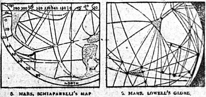 The San Francisco Sunday Call, January 06, 1907
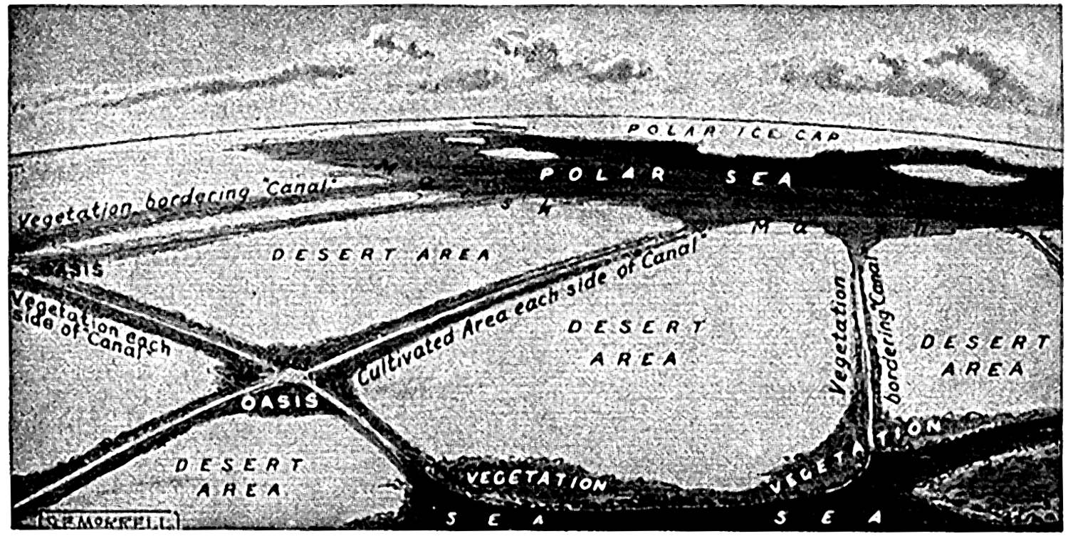 The Book of Knowledge: The Children’s Encyclopedia. Volume 9 McLoughlin E.V., Thompson H. 1943.
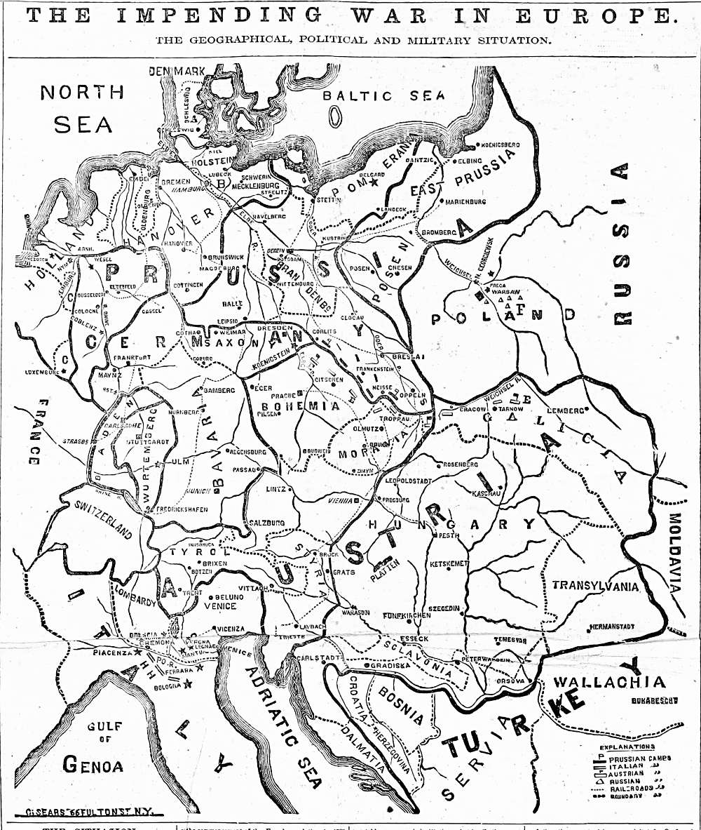
Impending War in Europe, 1866
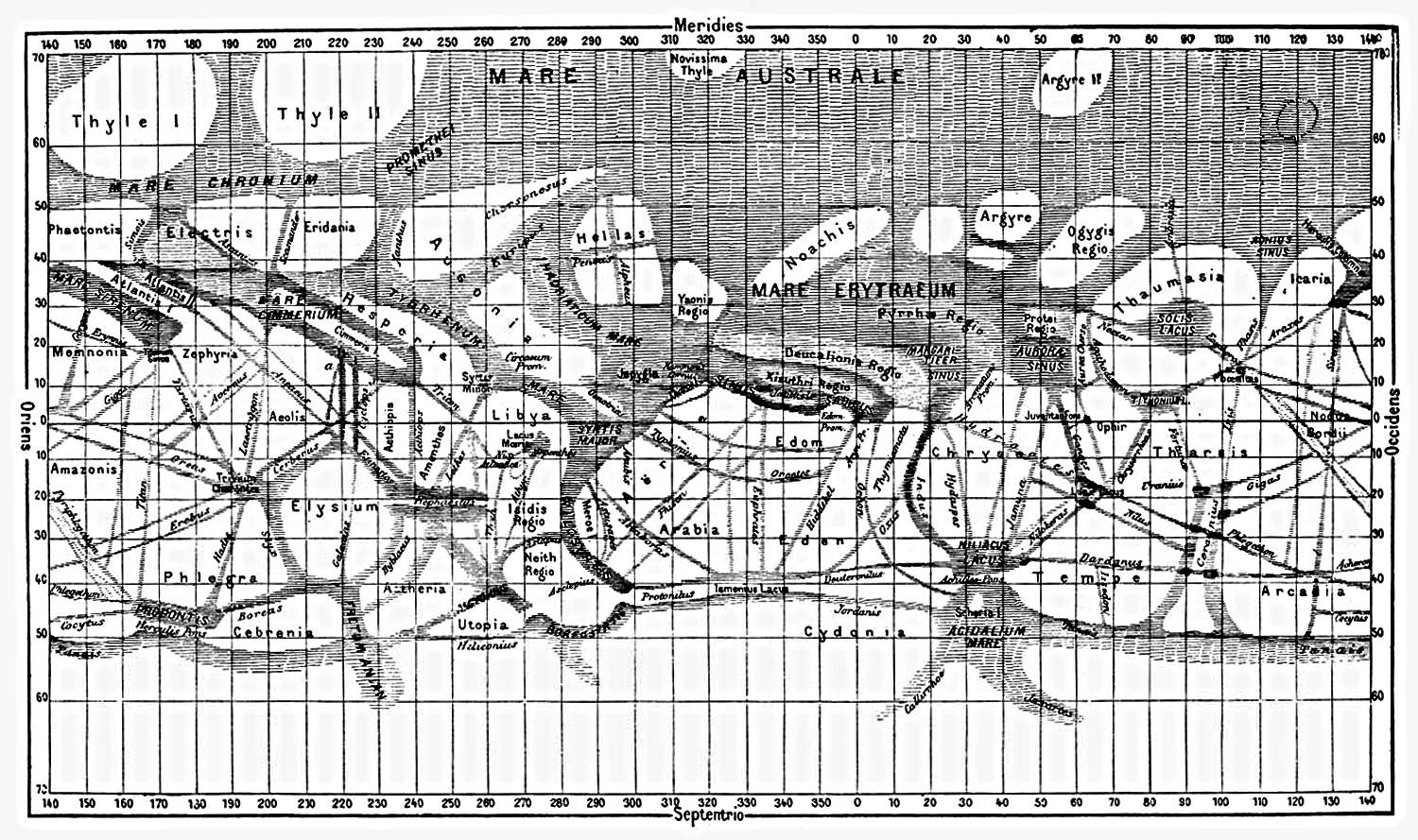
Maps of Mars
All the vast extent of the continents is furrowed upon every side by a network of numerous lines or fine stripes of a more or less pronounced dark colour, whose aspect is very variable. They traverse the planet for long distances in regular lines, that do not at all resemble the winding courses of our streams. Some of the shorter ones do not reach three hundred miles; others extend for many thousands, occupying a quarter or even a third of the circumference of the planet … The canals may intersect among themselves at all possible angles, but by preference they converge towards the small spots to which we have given the name of lakes. – Schiaparelli
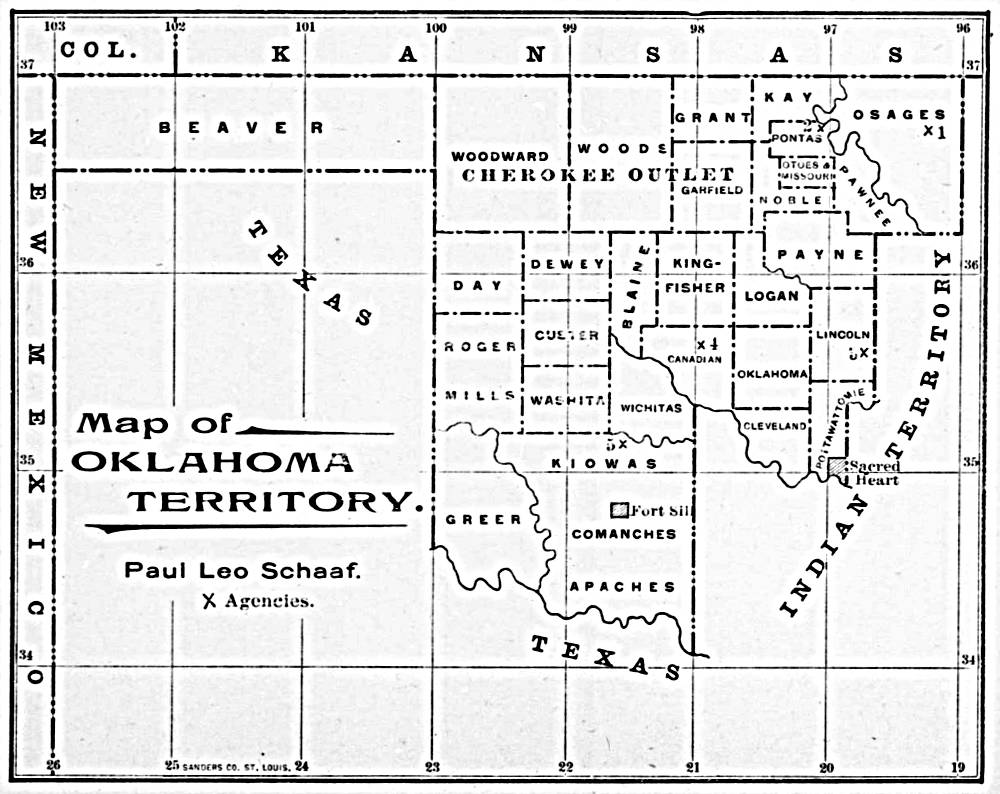
Oklahoma Territory, 1900
Nansei Shoto – A Pocket Guide, 1945
There’s no use giving you a sightseer’s guide to the Nansei Shoto, because after the navy and air forces have blasted the way for a landing on those islands, they just won’t look the same.
But since the islands themselves will still be there, and most of the people, the more you can find out about the people and how they live, the safer and more comfortable you will be.
Continue reading “Nansei Shoto – A Pocket Guide, 1945”
Infected District, 1878
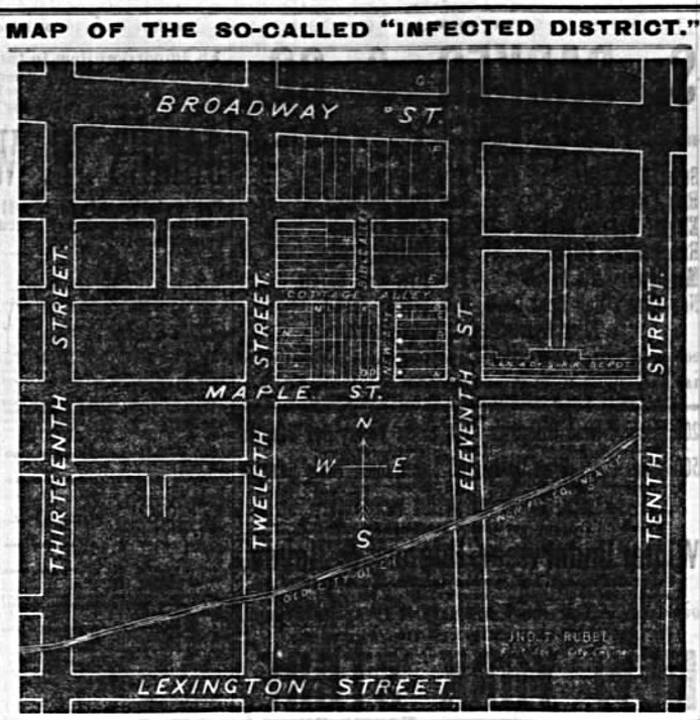 Map of the “Infected District” from the Courier-Journal, Louisville, KY, October 20, 1878
Unfortunately, I was not able to ascertain what had infected the district, though it was probably yellow-fever…
